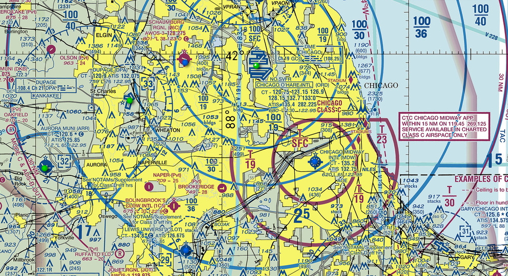
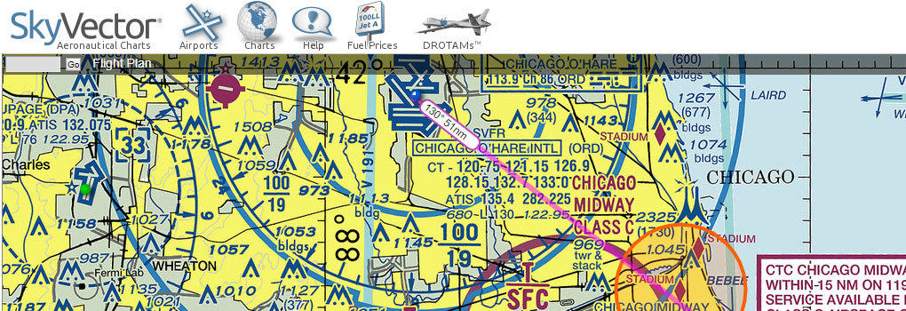
Did you know that you can access all current FAA charts online for free? Whether you’re looking to view VFR and IFR charts, check weather and airport information, or even plan and file a flight plan, there are great resources that make it simple. Let’s take a closer look at two of the most popular sites: VFRMap.com and SkyVector.com.
FAA Digital Products Page
For those who prefer to download charts directly, the FAA’s Digital Products Page is an excellent resource. Here, you can access all current FAA charts for free, including Sectionals, IFR Enroute Charts, and Terminal Area Charts. These downloads are especially handy for offline use and are updated regularly to ensure pilots have the latest data.
Top Free Sites for Viewing FAA Charts Online
These two popular websites allow you to view FAA charts without having to download them, each offering a unique set of features tailored for different types of flying needs.
VFRMap.com
VFRMap.com is a user-friendly, mobile-friendly website that provides an easy way to view various charts and aviation information. Here’s what it offers:
- VFR and IFR Charts: View both VFR and IFR charts without needing to download files.
- Airport Information: Access the Airport Facility Directory (AFD) for quick information about airports, including runways, frequencies, and services.
- Weather Overlays: Get a quick look at weather patterns with radar and METAR data, making it easy to see current conditions.
- Instrument Procedures: The site provides access to instrument procedures for pilots needing to review approaches and departures.
Limitations: While VFRMap.com is a powerful tool for viewing charts, it currently lacks flight planning features, so it’s best for quick reference, training, or simply exploring potential destinations.
SkyVector.com
SkyVector.com is a robust and highly popular tool for both chart viewing and detailed flight planning. With its extensive features, it’s ideal for pilots who want a full planning suite:
- Comprehensive Chart Access: SkyVector provides high-quality VFR, IFR, and sectional charts for the entire United States and beyond.
- Airport Data and AFD: The site offers detailed airport information with everything from diagrams and services to fuel prices updated in real-time.
- Weather Briefings: Access real-time weather overlays with METARs, TAFs, radar, and more, helping you make informed decisions about current and forecasted conditions.
- Flight Planning Tools: SkyVector’s flight planning feature lets you select waypoints, calculate fuel, estimate time en route, and print out a Nav Log.
- Flight Plan Filing: Registered users can file their flight plans directly through SkyVector, with access to a full pre-flight weather briefing.
Additional Perks: SkyVector also provides updates on global airspace, navigation aids, and even restricted or controlled airspaces, making it a top choice for cross-country and international flights.
Which Site is Right for You?
- VFRMap.com is a great choice if you want quick, no-fuss access to charts and airport information without additional features.
- SkyVector.com is ideal if you’re looking to plan flights from start to finish, with in-depth weather, fuel planning, and filing capabilities.
Both of these resources make FAA charts accessible, user-friendly, and free to use. Whether you’re planning a local VFR flight or cross-country IFR route, you’ll find everything you need with these powerful tools.
Happy flying, and remember to stay current and check for updates before every flight!


